Today's highlightOct 19
Germany
Trails in North Rhine-Westphalia
- Routes
- 23
- Distance
- 934km
- Highest
- 831m
2,682 GPS-traced routes in 121 countries, each with elevation, gradient, surface and water crossings. Download the GPX or navigate offline in the free app.
Germany
Turn on precise location to see the routes closest to you.
From gentle strolls to extreme high-altitude routes, all rated by the same terrain formula.
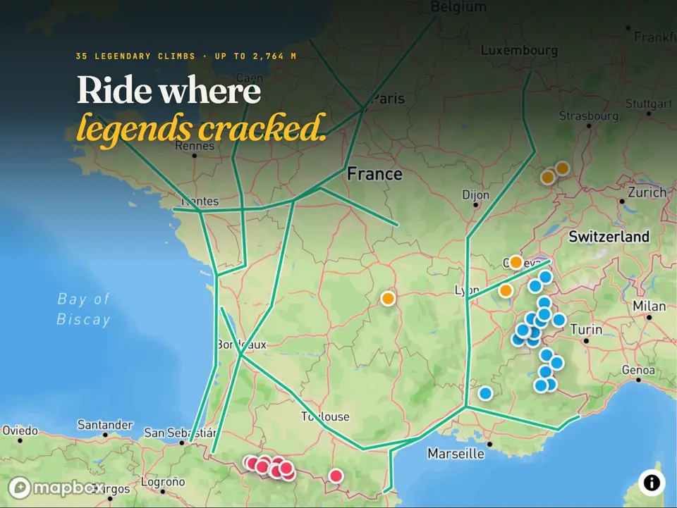
35 legendary Tour de France climbs on one map, from Alpe d'Huez and the Galibier to the Tourmalet and Ventoux, with stats, history and a route for each.
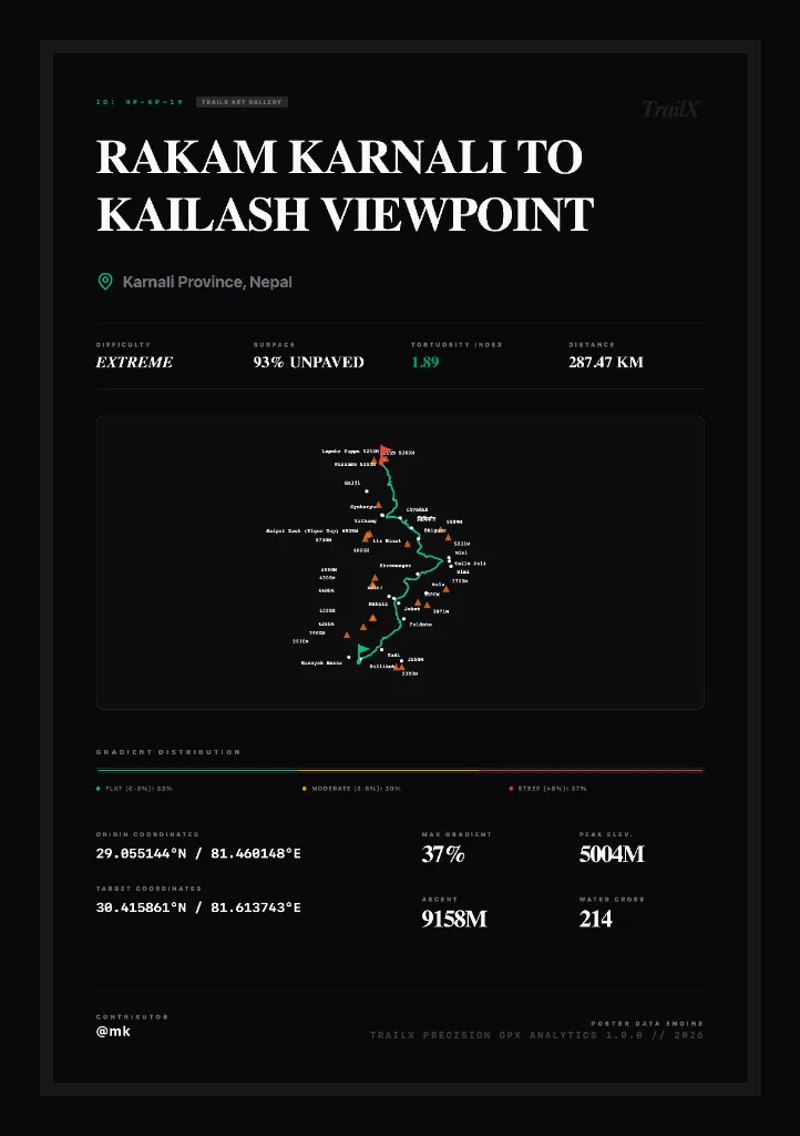
Draft point-to-point itineraries across extreme terrains. Align coordinates, inspect slope gradients, and export standard GPX files ready for offline mobile or navigation devices.
Every trail opens in two preview modes: a 3D flyover over real terrain and a street-level walk-through, on the web and in the app.
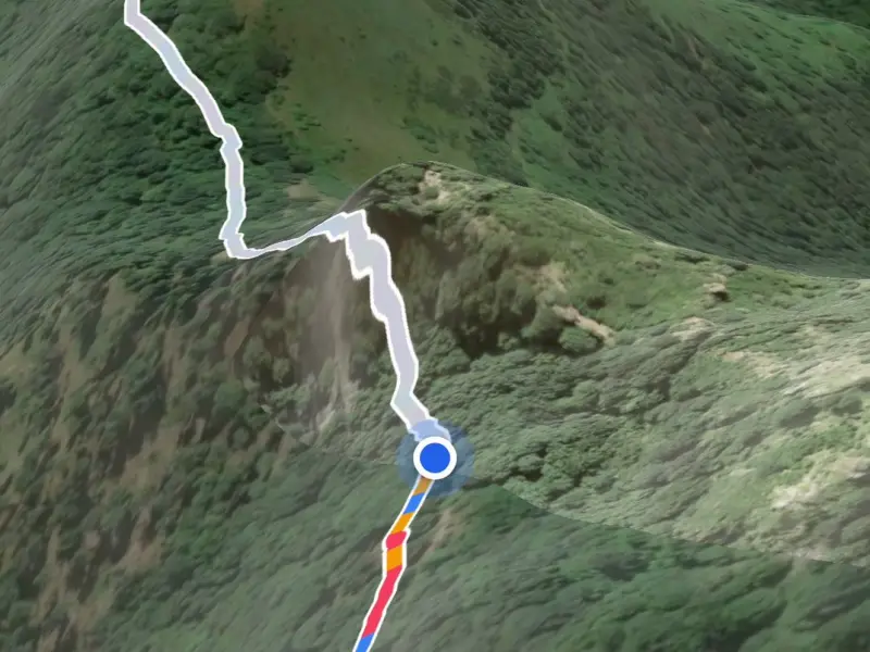 3D flyover
Fly the real route over real terrain, with the line coloured by gradient and the elevation profile following along. See every climb before you start.
See how it works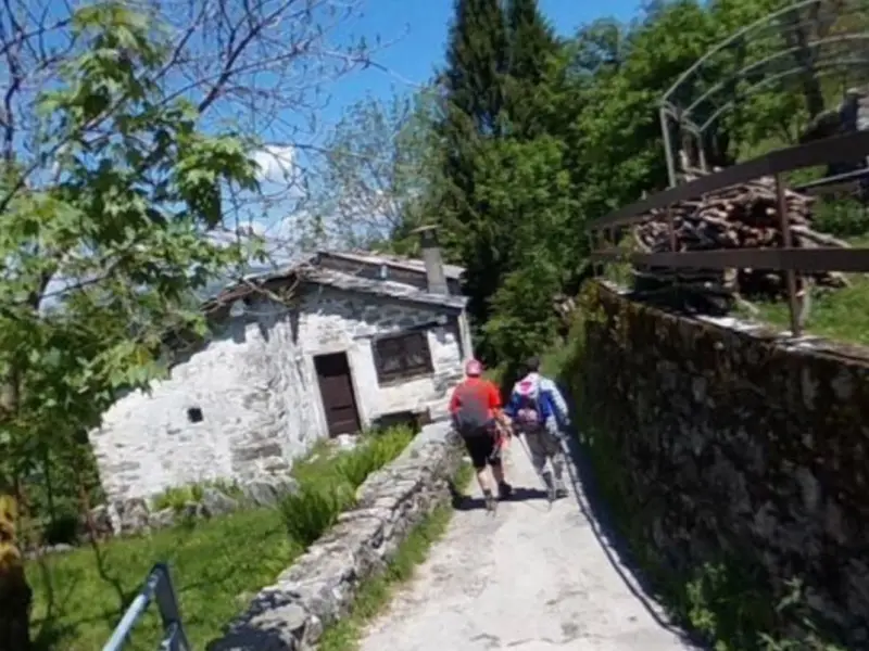 Street ViewNew
Step along the trail in street-level photos, facing the way you're going, with a mini map showing where you are. Know what the path looks like on the ground.
Try it on Val d'IntelviDownload the mobile app today to navigate offline, track your coordinates, analyze altitude telemetry, and access our entire trail database directly on your phone, even with no signal.


Access real-time stream feedback, verified safety check logs, and terrain difficulty surveys directly contributed by outdoor explorers.