On this page
Ask anyone who has walked to a Himalayan temple what they remember, and it's rarely the temple first. It's the cold before dawn, the bells drifting down the valley before you can see where they're coming from, the stranger who hands you a cup of tea at a bend in the path and asks where you're from. It's the moment you crest a ridge and the shrine is suddenly there: small, stone, surrounded by mountains far bigger than you expected.
That's the thing about Shiva's trails. Shiva is the god of the mountains, the ascetic who lives on Kailash, so his temples ended up in the wildest corners of India: on 4,000 m ridges, in caves full of ice, on islands in the Narmada and on headlands in the Arabian Sea. Follow them and you end up seeing almost every kind of country India has. Pilgrims have known this for a thousand years. Trekkers, riders and drivers are just catching up.
This guide starts with the journeys themselves: twelve Shiva adventures, from an easy riverside walk to one of the hardest pilgrim treks on Earth. After that comes the full picture of the three great circuits, Panch Kedar, Panch Kailash and the 12 Jyotirlingas, for when you're ready to plan.
The routes behind this guide
This guide wouldn't exist without one person. Of the 27 TrailX routes linked here, 22 are by fakir27, the TrailX scout who seems to have driven, ridden or walked half of Shiva's map. They include the 1,760 km Shiva Trail that ties the whole story together, the trek to Rudranath, the new route up to Shrikhand Mahadev, both Kailash routes through Nepal, the high road to Om Parvat and Lipulekh, the off-road run to the ice cave at Timmersain, and the kanwariyas' canal road to Haridwar.
Those routes run from the Gangetic plain to the Tibetan plateau, and from the Rann of Kutch to the Kumaon hills. That spread is really the argument of this whole piece. You can follow everything fakir27 has mapped on their TrailX profile.
Twelve Shiva adventures
Each one below has its route card: the shape of the trail, how far, how much climbing and how high it goes. Tap through for the full map, elevation profile and weather.
1. The Shiva Trail: a road trip through Shiva's own valleys
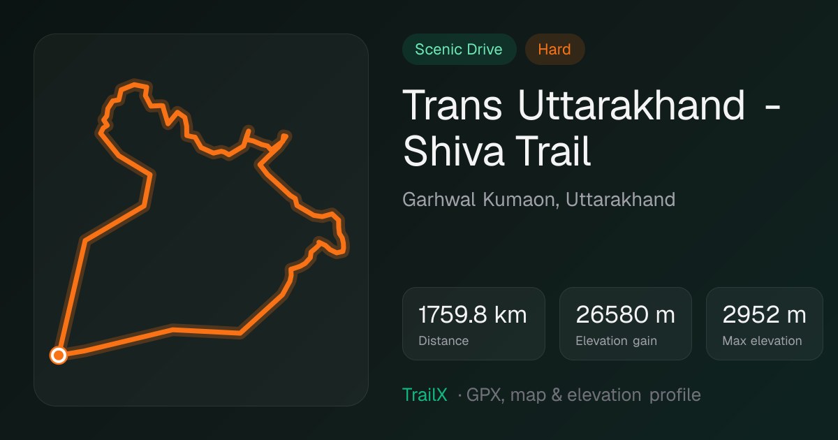 Trans Uttarakhand - Shiva Trail: 1,760 km loop from Delhi through Garhwal and Kumaon
If you only do one thing from this guide, make it this. The Trans Uttarakhand - Shiva Trail, mapped by fakir27, leaves Delhi for Haridwar, the "gateway to Hara", and then climbs into the hills. It passes Uttarkashi and Guptkashi, where the Panch Kedar legend begins, and Ukhimath, where Kedarnath's deity spends the winter. It goes over the meadows at Chopta, the start of the walk to Tungnath, then on to Gopeshwar and Sagar for Rudranath, the Urgam valley for Kalpeshwar, and across Kumaon to the deodar-shaded temples of Jageshwar and the cave at Patal Bhuvaneshwar.
What makes it special is the rhythm. You drive all morning through terraced fields, stop for parathas in a town with one main street, and by late afternoon you're at the foot of another walk to another temple. Some days the road is rough enough that you'll want a high-clearance car. Give it two weeks if you can, and leave room for the side treks.
1,760 km · 26,580 m of climbing · tops out near 2,950 m · best May–June and September–October · starts and ends in Delhi
2. Rudranath: the hardest of the five Kedars
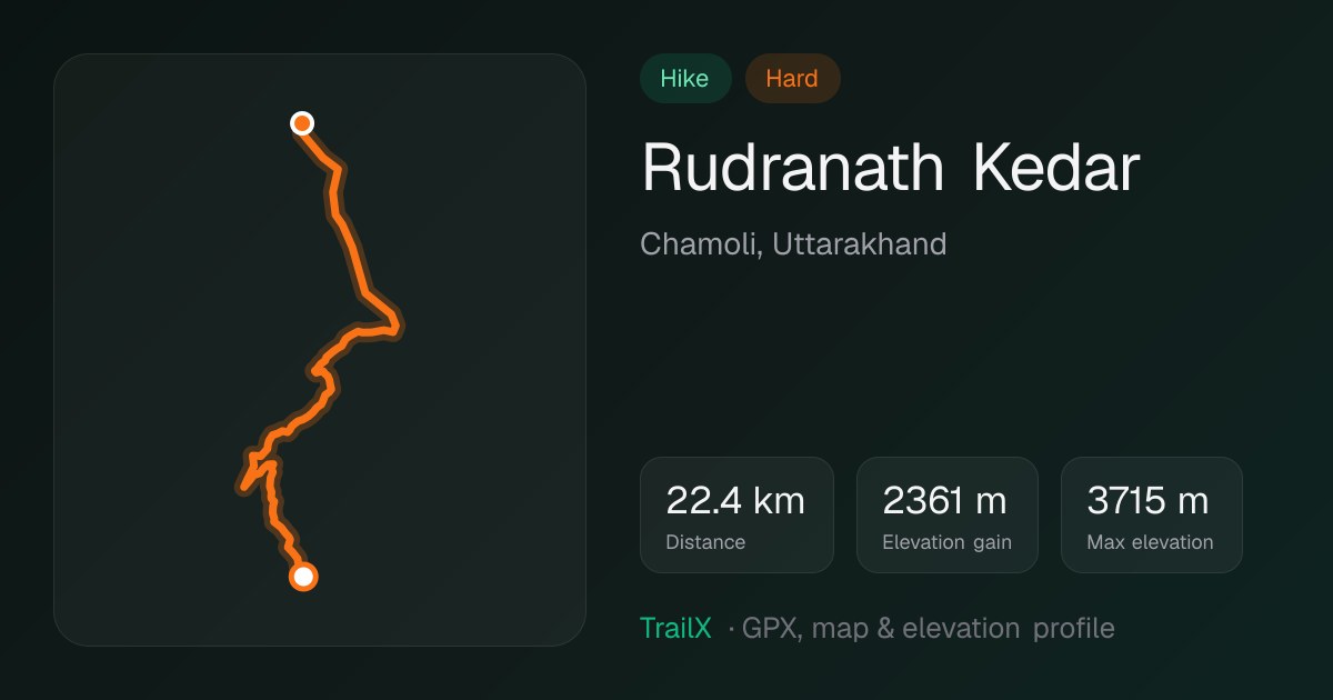 Rudranath Kedar trek: 22.4 km from Sagar, 2,361 m of climbing to about 3,700 m
Of the five Panch Kedar temples, Rudranath is the one people go quiet about. The Rudranath Kedar route climbs from Sagar village near Gopeshwar through oak and rhododendron forest, then breaks out onto enormous open meadows (bugyals) where shepherds graze their flocks all summer. At the top, Shiva is worshipped here as a face in the rock, with Nanda Devi and Trishul across the valley.
It's steep and long, so most people take two days and sleep at the meadow camps on the way. You'll pass far fewer people than at Kedarnath, and that's much of the appeal.
22.4 km · 2,361 m of climbing · tops out near 3,700 m · June to October · starts at Sagar, Chamoli
3. Shrikhand Mahadev: the pilgrimage that tests everyone
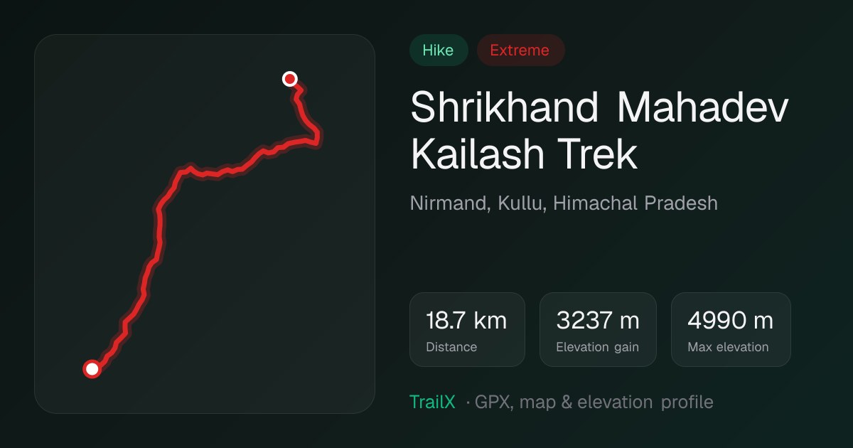 Shrikhand Mahadev Kailash Trek: 18.7 km mapped path from Singhgad, 3,237 m of climbing, extreme
Shrikhand is where devotion meets mountaineering. For a short window each July, thousands of pilgrims start from Jaon near Nirmand in Kullu and climb to a tall natural rock lingam at about 5,200 m, one of the five Kailash of Shiva. The new Shrikhand Mahadev Kailash Trek route, added to TrailX by fakir27 for this guide, follows the mapped path from the Singhgad roadhead:
- a long, punishing climb through forest to the Kali Ghati ridge
- a heartbreaking drop down to Bhim Talai, height you'll have to win back
- past the giant boulders of Bhim Dwar to the flower meadows of Parvati Bagh
- up the last boulder fields beside the glacial lake of Nain Sarovar
The elevation model behind our track tops out just under 5,000 m; the lingam is usually quoted at about 5,200 m. Either way, this is serious high-altitude terrain with almost no margin for bad weather.
Pilgrims chant Har Har Mahadev on the steepest pitches, and you'll understand why. Most take three or four days up and two down. Go only with the official yatra, which requires registration and a medical check, and only if you're fit and acclimatised.
18.7 km one way · 3,237 m of climbing · lingam at about 5,200 m · July (official yatra) · starts at Singhgad above Jaon, Kullu
4. Manimahesh: a lake at the foot of Shiva's mountain
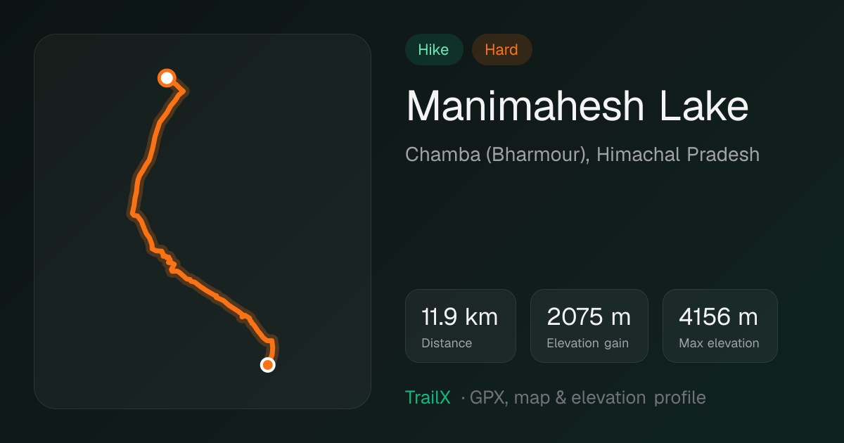 Manimahesh Lake trek: 11.9 km, 2,075 m of climbing to about 4,150 m
In the Chamba hills, the Gaddi shepherds have their own Kailash. The Manimahesh Lake trek climbs from Hadsar past waterfalls and the Dhancho camp to a high lake at about 4,080 m, right below the snow pyramid of Manimahesh Kailash. During the Manimahesh jatra in August and September, the lake shore fills with pilgrims, tents and bells. Come in early summer and you may have it almost to yourself. There's more on the lake in our lakes of Himachal guide.
11.9 km · 2,075 m of climbing · tops out near 4,150 m · June to September · starts at Hadsar, Bharmour
5. Adi Kailash: India's own Kailash, by road
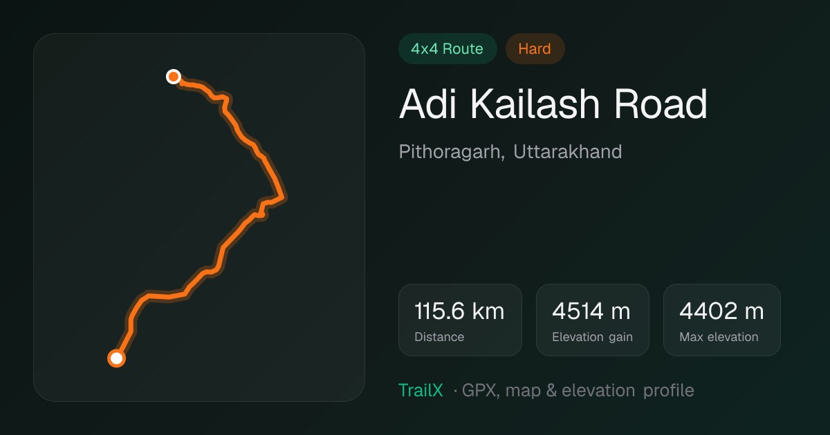 Adi Kailash Road: 115.6 km off-road from Dharchula, 4,514 m of climbing to about 4,400 m
For years Adi Kailash was a long, remote trek near the Tibet border. Now a road climbs almost all the way, and driving it is one of the great adventures in India. The Adi Kailash Road leaves Dharchula along the Kali river, squeezes through the gorge and then climbs the Kuthi valley to Jolingkong lake. There the mountain fills the sky beside Parvati Kund.
You'll need an Inner Line Permit from Dharchula, steady nerves on the cliff-cut sections and a day or two in the villages to acclimatise. We analysed the road's famous S-bend in a separate post.
115.6 km · 4,514 m of climbing · tops out near 4,400 m · May to October · starts at Dharchula, Pithoragarh
6. Om Parvat: the mountain with ॐ written on it
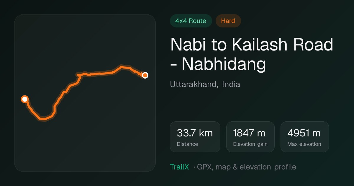 Nabi to Kailash Road - Nabhidang: 33.7 km, 1,847 m of climbing to about 4,950 m
On the other branch of the same valley, the road to the Lipulekh pass climbs to Nabhidhang. From there, snow lying on the face of Om Parvat forms the sacred syllable ॐ, as clearly as if someone had painted it. The Nabi to Kailash Road - Nabhidang route gets you there. fakir27's Kalapani to Lipulekh Pass Expedition and Adi Kailash om parvat full route (661 km) tie it all together with Adi Kailash and Jageshwar. Seeing it at sunrise, when the snow turns gold, is one of those moments people talk about for years.
33.7 km · 1,847 m of climbing · tops out near 4,950 m · May to October · Inner Line Permit required
7. Kailash and Mansarovar: the journey to the source
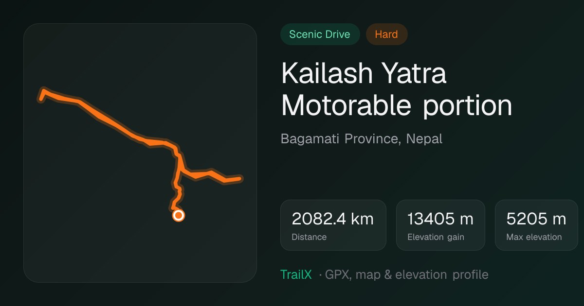 Kailash Yatra Motorable portion: 2,082 km overland from Kathmandu, up to about 5,200 m
For many, this is the journey of a lifetime. Mount Kailash in Tibet is holy to Hindus, Buddhists, Jains and Bön followers, and nobody is allowed to climb it. Instead you walk around it on the 52 km kora, crossing the Drolma La at about 5,600 m, and bathe in the blue water of Lake Mansarovar nearby.
fakir27 has mapped both of the ways in through Nepal. The Kailash Yatra Motorable portion is the long overland drive from Kathmandu via Kerung, 2,082 km across the Himalaya. The Kailash Heli Yatra Motorable portion is the shorter drive from the Hilsa side after a flight to Simikot. Indian pilgrims can also go on the government-run yatra via Lipulekh or Nathu La.
If you can't go into Tibet, Nepal's Limi valley has viewpoints where Kailash appears across the border. The Limi Resort to Kailash Viewpoint - Lapche route reaches one of them.
2,082 km · 13,405 m of climbing · tops out near 5,200 m · June to September · permits through a registered operator
8. Timmersain: Uttarakhand's ice lingam
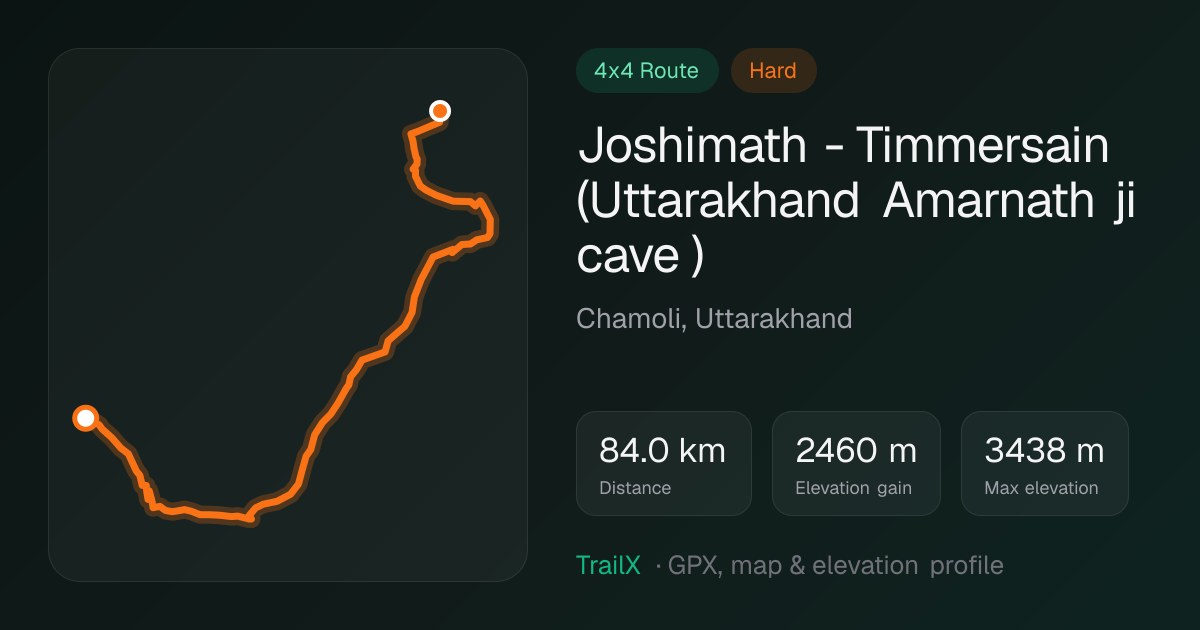 Joshimath - Timmersain: 84 km off-road up the Niti valley, to about 3,440 m
Few people outside Garhwal have heard of Timmersain, and that's part of its magic. In a cave in the Niti valley near the Tibet border, an ice lingam forms each winter and spring, which is why locals call it Uttarakhand's Amarnath. fakir27's Joshimath - Timmersain route follows the Dhauliganga up through Malari towards Niti. It's a proper off-road drive, with rocky sections and water crossings, through some of the emptiest, most dramatic valleys in the state.
84 km · 2,460 m of climbing · tops out near 3,440 m · best in spring and early summer · starts at Joshimath
9. Sheshnag: on the way to Amarnath
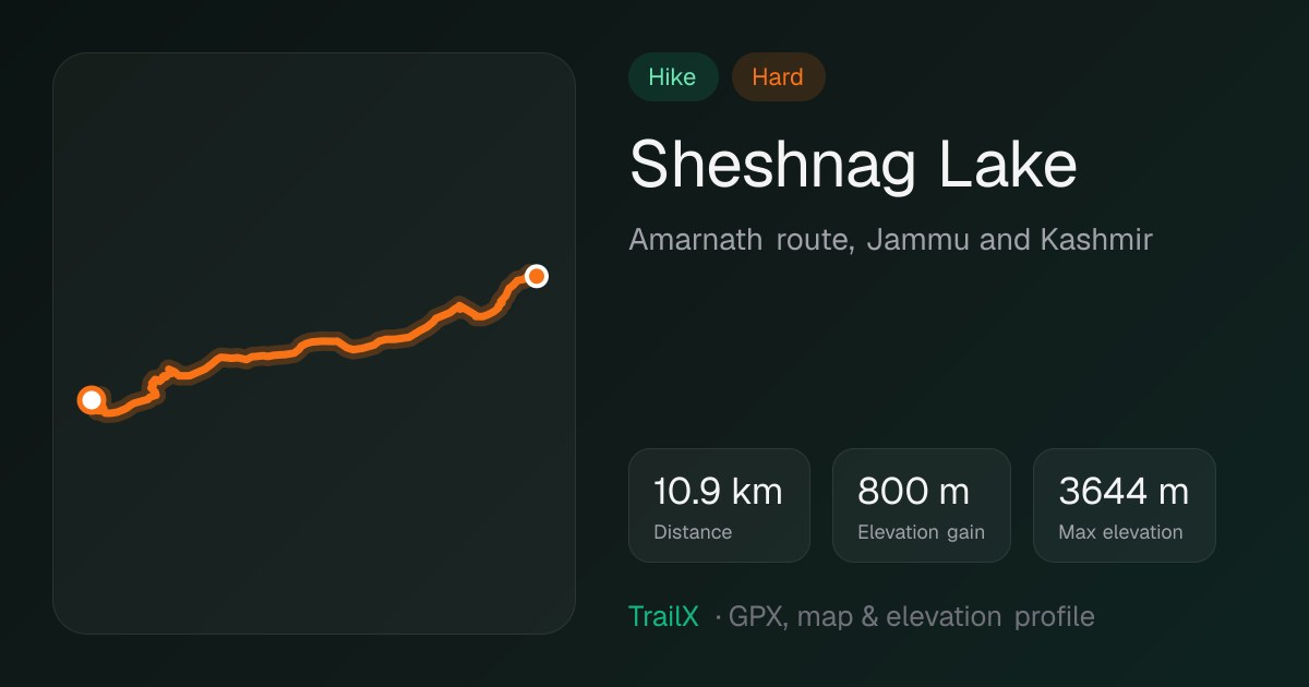 Sheshnag Lake trek: 10.9 km on the Amarnath route, to about 3,640 m
Every July and August, hundreds of thousands of pilgrims walk to the Amarnath cave in Kashmir, where an ice lingam forms at about 3,880 m. The classic route from Pahalgam goes via Chandanwari and the glacial lake at Sheshnag. The Sheshnag Lake route covers that stretch, past a turquoise lake under a ring of peaks that the legend says Shiva passed on his way to the cave. Outside the yatra, it's a quiet, beautiful trek in its own right. See our Kashmir lakes guide for more.
10.9 km · 800 m of climbing · tops out near 3,640 m · July–August yatra (registration required) · starts at Chandanwari, Pahalgam
10. Omkareshwar: a walk around Shiva's island
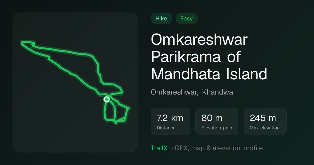 Omkareshwar Parikrama of Mandhata Island: 7.2 km easy walk around the island
Not every Shiva trail needs crampons. At Omkareshwar, one of the 12 Jyotirlingas, the temple stands on Mandhata, an island in the Narmada that's said to be shaped like ॐ. The Omkareshwar Parikrama of Mandhata Island is an easy 7.2 km walk around it. It passes ghats, old gateways, sadhus' ashrams and long views over the river. Do it early, before the heat, and then drive downstream on the Omkareshwar to Maheshwar along the Narmada route to the fort and weaving town of Maheshwar.
7.2 km · 80 m of climbing · easy · October to March · starts at Omkareshwar, Khandwa
11. Rameshwaram to Dhanushkodi: to the end of India
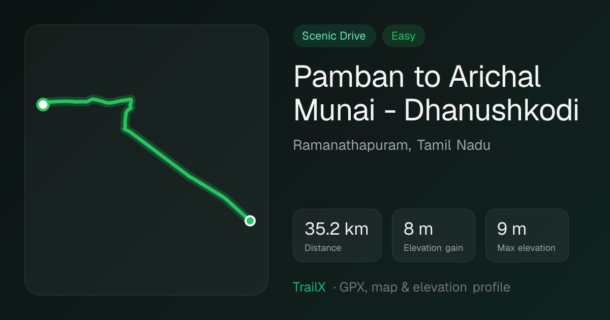 Pamban to Arichal Munai - Dhanushkodi: 35.2 km flat coastal road to the tip of the island
The southernmost Jyotirlinga sits on an island. You cross the Pamban bridge with sea on both sides, walk the Ramanathaswamy temple's long pillared corridors, and then keep going. The Pamban to Arichal Munai - Dhanushkodi route runs 35 km across Rameswaram island, past the ruins of Dhanushkodi, destroyed by a cyclone in 1964. It ends at Arichal Munai, where the road simply stops and the Bay of Bengal meets the Indian Ocean. It's dead flat and you can do it on a bicycle, but go early: the light and the wind are best in the morning.
35.2 km · flat · October to March · starts at Pamban, Ramanathapuram
12. Unakoti: Shiva in the jungle
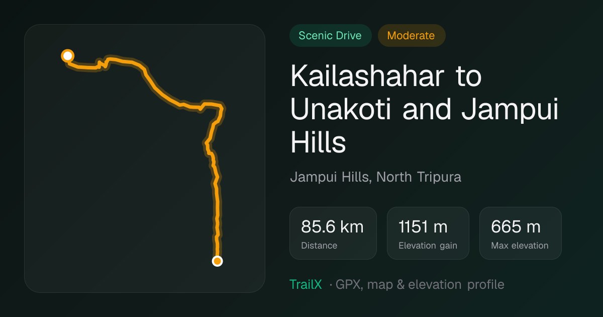 Kailashahar to Unakoti and Jampui Hills: 85.6 km drive in North Tripura
In the forests of North Tripura, giant faces of Shiva and other gods are carved into a hillside, some of them several metres tall, made between roughly the 7th and 9th centuries. Moss grows over them and a stream runs past. The legend says there are one less than a crore of them. The Kailashahar to Unakoti and Jampui Hills route takes you there and then up into the orange orchards and Mizo villages of the Jampui Hills. It's one of the least-visited and most beautiful Shiva sites in the country.
85.6 km · 1,151 m of climbing · tops out near 665 m · October to March · starts at Kailashahar
Panch Kedar: five temples, one bull
Here's the story behind the first two adventures. After the Mahabharata war, the Pandavas went looking for Shiva to atone for killing their kin. Shiva didn't want to be found. He became a bull and dived into the earth at Guptkashi, and when he resurfaced, his body appeared in five places in the Garhwal Himalaya: the hump at Kedarnath, the arms at Tungnath, the face at Rudranath, the navel at Madhyamaheshwar and the matted hair at Kalpeshwar. Many say the head emerged at Pashupatinath in Kathmandu.
All five close for winter except Kalpeshwar. Walking all of them is one of India's great pilgrim treks, but each makes a fine trip on its own.
| Temple | Altitude (≈ m) | Reached from | Effort | TrailX routes |
|---|---|---|---|---|
| Kedarnath | 3,583 | Gaurikund, about 16 km on foot | Hard, but busy and well serviced | Shiva Trail passes Ukhimath, its winter seat |
| Tungnath | 3,680 | Chopta, about 3.5 km on foot | Moderate; the gentlest of the five | Shiva Trail passes Chopta |
| Rudranath | 3,600 | Sagar, about 20 km on foot | Very hard | Rudranath Kedar |
| Madhyamaheshwar | 3,497 | Ransi, about 16 km on foot | Hard | Shiva Trail passes Ukhimath, its winter seat |
| Kalpeshwar | 2,200 | Urgam valley, a short walk | Easy; open all year | Shiva Trail passes Urgam |
Kedarnath is both a Panch Kedar and a Jyotirlinga, and it's the busiest of them all. The paved path from Gaurikund is long, and from May to October it's full of pilgrims, ponies and palanquins. Go early in the season or after the monsoon if you want space to breathe.
Tungnath is where to start if you're new to the mountains. A stone path climbs about 3.5 km from the meadows of Chopta to what's often called the highest Shiva temple in the world. Keep going one more kilometre to Chandrashila at about 4,000 m for sunrise over Chaukhamba, Nanda Devi and Kedarnath. Pair it with Deoria Tal, a short climb to a lake that mirrors the same peaks.
Madhyamaheshwar sits in a bowl of green meadows under Chaukhamba, about 16 km from Ransi. It's quieter than Kedarnath and greener than Tungnath. Kalpeshwar in the Urgam valley is the gentle finale: a temple in a rock cave, with roads now reaching close by.
For the lakes around these trails, see our lakes of Uttarakhand guide.
Panch Kailash: five mountains of Shiva
Five mountains carry the name Kailash. No one climbs them; you walk around them, camp by their lakes or just look up.
| Mountain | Height (≈ m) | Where | How you experience it | Season | TrailX routes |
|---|---|---|---|---|---|
| Mount Kailash | 6,638 | Tibet (China) | 52 km kora and Lake Mansarovar | June–September | Kailash Yatra Motorable portion, Kailash Heli Yatra Motorable portion |
| Adi Kailash | 5,945 | Pithoragarh, Uttarakhand | Drive to Jolingkong and Parvati Kund | May–October | Adi Kailash Road, Tawaghat to Jolingkong Lake, Sin la pass trails |
| Shrikhand Mahadev | ≈5,200 (the lingam) | Kullu, Himachal Pradesh | Very hard trek to a rock lingam | July (official yatra) | Shrikhand Mahadev Kailash Trek |
| Kinnaur Kailash | 6,050 | Kinnaur, Himachal Pradesh | Watch it from Kalpa; steep trek to the rock lingam | Summer | Spiti Valley Circuit (drives below it) |
| Manimahesh Kailash | 5,653 | Chamba, Himachal Pradesh | Trek to the lake below the peak | August–September jatra | Manimahesh Lake |
Kinnaur Kailash is the one you can watch from a hotel balcony. From Kalpa above Reckong Peo, the whole massif rises across the Sutlej at sunrise, with a rock lingam on its shoulder that changes colour through the day. The Spiti Valley Circuit drives right beneath it. The trek to the lingam itself is steep and serious; do it with local guides in high summer.
The 12 Jyotirlingas: Shiva as a column of light
A Jyotirlinga is a shrine where Shiva is believed to have appeared as an endless pillar of light. Most are in towns and open all year, but together they span India from the Arabian Sea to Jharkhand and from the Himalaya to the tip of Tamil Nadu. Visiting all twelve is, in effect, a tour of the country.
| Jyotirlinga | Where | Setting | TrailX routes |
|---|---|---|---|
| Somnath | Prabhas Patan, Gujarat | Arabian Sea shore | — |
| Mallikarjuna | Srisailam, Andhra Pradesh | Krishna gorge, Nallamala tiger forest | — |
| Mahakaleshwar | Ujjain, Madhya Pradesh | Old city on the Shipra | — |
| Omkareshwar | Mandhata island, Madhya Pradesh | Island in the Narmada | Parikrama of Mandhata Island, Omkareshwar to Maheshwar |
| Kedarnath | Rudraprayag, Uttarakhand | 3,583 m, Himalaya | See Panch Kedar |
| Bhimashankar | Pune district, Maharashtra | Sahyadri forest, source of the Bhima | — |
| Kashi Vishwanath | Varanasi, Uttar Pradesh | Ghats of the Ganga | — |
| Trimbakeshwar | Nashik, Maharashtra | Below Brahmagiri, source of the Godavari | Sangamner to Trimbakeshwar Drive |
| Baidyanath | Deoghar, Jharkhand | End of the Shravani kanwar walk | — |
| Nageshwar | Near Dwarka, Gujarat | Saurashtra coast | — |
| Rameshwaram | Pamban island, Tamil Nadu | Island temple, sea bridge | Pamban to Dhanushkodi |
| Grishneshwar | Near Ellora, Maharashtra | Next to the Ellora caves | — |
A few are adventures in their own right:
- Bhimashankar sits in a wildlife sanctuary on the crest of the Sahyadri, home to the Indian giant squirrel. The monsoon climb from Khandas, up Ganesh Ghat or the ladder-like Shidi Ghat, is a Mumbai and Pune favourite.
- Trimbakeshwar is under Brahmagiri hill, where the Godavari rises; climb to the source after your darshan.
- Mallikarjuna at Srisailam is reached through the Nallamala tiger forest. The forest road has night restrictions, so arrive in daylight.
- Grishneshwar is a short walk from Ellora, so pair it with the Kailasa temple there: a whole Shiva temple carved downwards out of a single rock.
- Baidyanath at Deoghar is the end point of the Shravani Mela, when pilgrims carry Ganga water about 105 km on foot from Sultanganj.
- Mahakaleshwar in Ujjain is famous for its pre-dawn Bhasma Aarti; book ahead.
- Kashi Vishwanath is best paired with a dawn boat along the Varanasi ghats.
A few titles are disputed. Aundha Nagnath (Maharashtra) and Jageshwar (Uttarakhand) also claim to be Nageshwar, and Parli Vaijnath (Maharashtra) claims Baidyanath.
More of Shiva's map
A few more places to add to the list:
- Jageshwar and Patal Bhuvaneshwar, Kumaon. About 125 stone temples in a deodar forest, and a deep limestone cave temple near Gangolihat. Both are on the Shiva Trail.
- Gokarna and Murudeshwar, Karnataka. Gokarna's Mahabaleshwar temple holds the Atmalinga of the Ravana legend, between some of India's best beaches, and Murudeshwar's giant Shiva statue looks out to sea an hour south. Drive in on the Goa–Gokarna Coast Road.
- Koteshwar, Kutch. A Shiva temple at India's far western edge, beyond the salt flats of the Rann. It makes a fitting end to a Kutch road trip such as fakir27's Vidhakot border run.
- Elephanta Caves, Mumbai. A ferry ride from the Gateway of India to the great three-faced Sadashiva.
- Arunachaleswara, Tiruvannamalai. On full-moon nights, crowds walk the 14 km girivalam around the sacred hill, traditionally barefoot.
- Velliangiri, Tamil Nadu. The "Kailash of the South": a steep seven-hill pilgrim trek, usually open from about February to May.
- The Kanwar Yatra. Every Shravan (July–August), millions of kanwariyas carry Ganga water home from Haridwar, many on foot along the Upper Ganga Canal, chanting Bol Bam. fakir27's Ganga Canal Road (Del-HW) follows that canal from Delhi. During the yatra, stretches close to vehicles, so drive it another month.
- Nepal. Pashupatinath in Kathmandu, where the head of the Panch Kedar bull is said to have emerged. North of the city, the Shivapuri Gokarna Hike climbs from the Gokarneshwar Mahadev temple into Shivapuri National Park. Gosainkunda, the lake Shiva is said to have made with his trident, is in our lakes of Nepal guide.
Before you go
- Pick your season. The Himalayan temples open roughly from May to October or November; the plains and coast are best from October to March. Shravan (July–August) and Mahashivratri (February–March) are the most auspicious times, and the busiest by far.
- Sort permits early. You need an Inner Line Permit for Adi Kailash and Om Parvat, registration and a medical certificate for Amarnath and Shrikhand, and either a government yatra slot or a Nepal operator for Kailash.
- Respect the altitude. Kedarnath, Tungnath, Rudranath and Manimahesh are all above 3,500 m; Shrikhand, Adi Kailash, Om Parvat and Kailash are far higher. Gain height slowly, and read our Himalayan passes guide and do's and don'ts for high passes.
- Follow temple customs. Dress codes, photography rules and timings vary. Ask, and follow local practice.
- Watch the weather. Mountain weather turns fast, and monsoon landslides close roads every year. Our weather charts guide shows how to make the go/no-go call.
Plan your Shiva trail with TrailX
Every route above has a full elevation profile, a surface breakdown and a live forecast, so you'll know how steep the path to Rudranath gets, or how rough the road to Jolingkong is, before you leave home. In the TrailX app you can fly the route in 3D, download it for offline use and keep navigating long after the signal has gone. That's most of the way to Shrikhand.
Hiking in Uttarakhand · Hiking in Himachal Pradesh · Scenic drives in India · Get the TrailX app
Written by
fakir27
TrailX scout with more than 90 mapped routes, from the Trans Uttarakhand Shiva Trail to the roads to Kailash and Lipulekh.
Responses