Kolkata to London by Road: Redrawing the Old Bus Route
From 1957 to 1976 a bus ran from London to Calcutta. We traced the old route on today's roads: 10,836 km, 13 countries, and which borders are still open.
On this page
On 15 April 1957, a bus left Victoria Coach Station in London with twenty passengers on board, bound for Calcutta. It was a 1948 AEC Regal III called The Indiaman, and it already had 100,000 miles on the clock. Fifty days later, on 5 June, it rolled into Calcutta. A one-way ticket had cost £85.
For the next two decades, buses ran between London and India. The best known was Albert, an old Sydney double-decker whose ads promised "the world's longest bus route" and "your complete home while you travel". The road ran through Belgium, West Germany, Austria, Yugoslavia, Bulgaria, Turkey, Iran, Afghanistan and Pakistan, with time set aside for the Taj Mahal and shopping in Salzburg, Vienna, Istanbul, Tehran and Kabul.
Then the road closed. No bus has run the whole route since the 1970s, and today you can't drive it end to end at all.
We wanted to see what that road looks like now, so we redrew it. We routed the old stops in order over today's roads, from Kolkata to London, and marked every border along the way with its status this autumn. We also added the TrailX routes you can follow on the stretches that are still open.
The longest bus route in the world
The Indiaman (1957). London-based Garrow-Fisher Tours ran the first UK–India bus service, with Oswald-Joseph Garrow-Fisher at the wheel. Passengers slept in hotels or camped. One of them, Peter Moss, later wrote a book about it, The Indiaman. They remembered high cliffs near Mount Ararat, soft verges in India, and wooden planks pushed under the wheels to get the bus out of the sand in Iran. In Tehran, after rumours spread that the passengers had been murdered, the British embassy threw them a cocktail party. On the way home, a flu pandemic closed the Pakistan–Iran border, and the bus made a detour of about 1,900 km by way of Karachi. Seven of the twenty passengers made the return trip. The Indiaman made four return journeys in all.
Albert (1968–1976). Andy Stewart, a British travel agent living in Australia, bought a 1947 Albion double-decker from the New South Wales transport department for AU$400. It had a dent in the back and a top speed of about 51 km/h. He fitted it with bunks for 14, a kitchen with a gas cooker, extra fuel tanks, a reading and dining saloon, and a radio and cassette player, and called it Albert. The first trip left Sydney on 8 October 1968 and took 132 days to reach London by way of India. Albert went on to make about 15 round trips, and Wikipedia puts the London–Calcutta fare at £145 in 1973. The bus survives: Stewart found it in Brighton in 2001, bought it back in 2009, restored it, and drove it home to Australia in 2012.
And all the others. Albert wasn't alone. In the decade after the Indiaman, at least 32 operators ran trips, in vehicles from double-deckers to converted fire engines. They had names like Topdeck, Swagman's Asian Greyhound, Penn Overland and Crazy Bus. Eastbound buses carried young Westerners heading for Kathmandu and Goa on what became known as the hippie trail. Westbound, many passengers were Punjabi migrants on their way to jobs in Britain.
Why it stopped. Wikipedia's account puts Albert's end in 1975–76, and blames instability in Iran and tension between India and Pakistan. In 1978 the Afghanistan–Pakistan border closed and some tours had to fly the last leg. The Iranian Revolution and the Soviet invasion of Afghanistan in 1979 closed the route for good. In 2020, an Indian company, Adventures Overland, announced a 70-day Delhi–London bus by a northern route through Myanmar, China and Central Asia. The company says it drove the route on test runs, but the passenger service was postponed several times and, as far as we can tell, has never launched.
The old route on today's map
How to read the map. The red line is the old route, traced from Kolkata to London through the cities the tours named, in order, over the roads that join them today. It follows modern highways, not the 1950s roads. Where a motorway now bypasses an old town, the line takes the motorway. Treat it as a good picture of the journey, not a reconstruction of the buses' exact roads. Tap a section for its length and its status today. Green lines are TrailX routes you can open, download and follow.
The tours advertised "10,000 miles" (16,000 km) one way. Today's roads between the same cities come to 10,836 km (6,733 miles), plus the Channel crossing. The difference is mostly a century of straighter roads, plus the side trips the tours made to the Taj Mahal and other sights. At the Indiaman's 50 days, that's still just over 200 km a day.
The route at a glance, Kolkata to London
| Section | Road distance today | Highlights then | Status in October 2026 |
|---|---|---|---|
| India: Kolkata to Amritsar | ≈1,947 km | Varanasi, Prayagraj, the Taj Mahal, Delhi | Open |
| Attari–Wagah border | n/a | The only road crossing between India and Pakistan | Closed to travellers since May 2025 |
| Pakistan: Lahore to the Khyber Pass | ≈531 km | Lahore, Rawalpindi, Peshawar | Open within Pakistan, with travel warnings for the north-west |
| Torkham border | n/a | The top of the Khyber Pass | Largely closed since late 2025; limited openings in 2026 |
| Afghanistan: Torkham to Herat | ≈1,351 km | Jalalabad, Kabul, Kandahar, Herat | Most governments advise against all travel |
| Iran: Herat border to Bazargan | ≈2,210 km | Mashhad, Tehran, Tabriz | The UK and US advise against all travel |
| Türkiye: Doğubayazıt to Edirne | ≈1,831 km | Mount Ararat, Erzurum, Ankara, Istanbul | Open |
| The Balkans: Edirne to Graz | ≈1,294 km | Sofia, Belgrade, Zagreb | Open |
| Austria, Germany, Belgium | ≈1,546 km | Vienna, Salzburg, Munich, Cologne, Brussels | Open (Schengen) |
| England: Dover to London | ≈126 km | Victoria Coach Station | Open |
Distances are for the legs we routed, between the cities in the table, so border-to-border lengths are approximate. Statuses are as reported in October 2026 and can change overnight.
Section by section
India: Kolkata to the Punjab
Then. For westbound passengers, the trip began in Calcutta. The bus climbed the Ganga plain to Banaras (Varanasi) and Allahabad (Prayagraj), stopped at Agra for the Taj Mahal, and ran through New Delhi and the Punjab. Much of the way, this was the Grand Trunk Road, one of Asia's oldest highways, which we cover in our ancient trade routes guide.
Now. NH 19 runs from Kolkata to Agra, and NH 44 carries on from Delhi to Amritsar. These are among the busiest roads in India: four to six lanes, lots of trucks, and tolls the whole way. Allow two weeks if you want to see the cities rather than just drive through them. October to March is the season; avoid the pre-monsoon heat of May and June. Browse more India scenic drives.
Follow it on TrailX: Dwarka - Prayagraj Sangam (661.7 km, on-road) covers the Delhi–Prayagraj stretch. Two long TrailX routes start where the bus did. The Eastern Coastal Route of India (2383.3 km) runs south from Kolkata. Delhi to Singapore - Asia Highway (5822.4 km) heads east much as Albert did, through Myanmar, Thailand and Malaysia.
The Attari–Wagah border
This is where the road ends today. Attari–Wagah is the only road crossing between India and Pakistan, and it has been closed to travellers in both directions since the Pahalgam attack of April 2025. In August 2026, India added Attari to its list of e-visa entry points, but we've found no report of the crossing reopening to travellers. The daily flag-lowering ceremony still draws crowds on both sides.
Pakistan: Lahore to the Khyber Pass
Then. Lahore, the Grand Trunk Road through Rawalpindi to Peshawar, then up through Landi Kotal to the top of the Khyber Pass at Torkham.
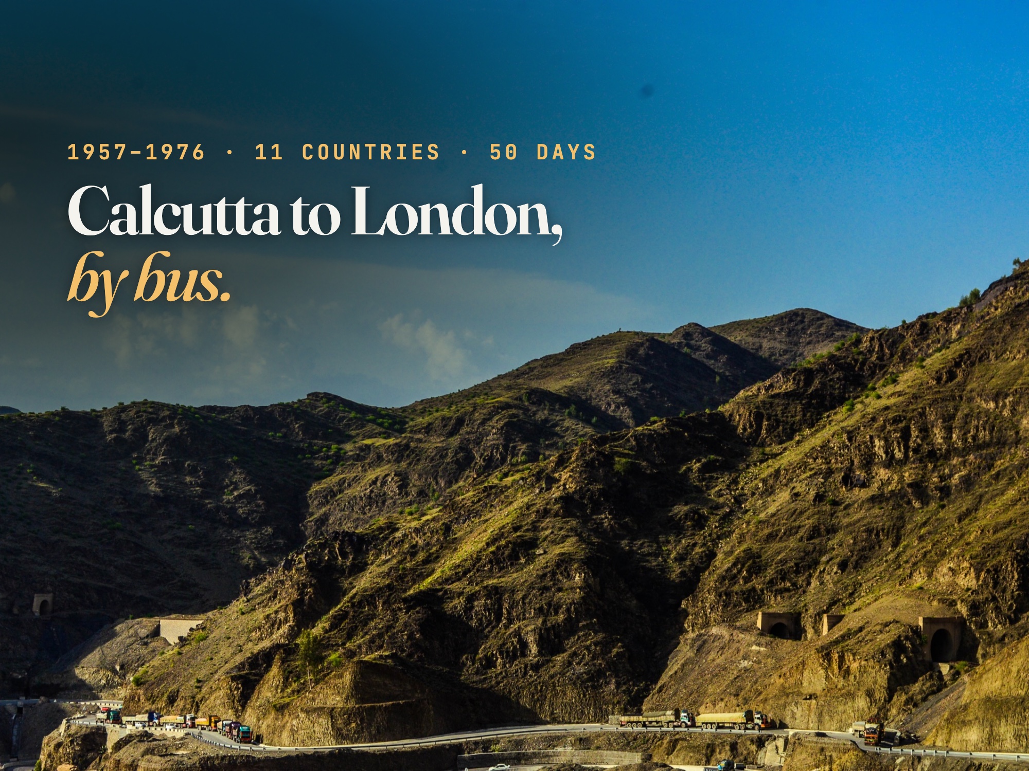
Now. The road is the N-5, a good highway. Foreign travellers have generally been able to drive it, with police escorts in parts of Khyber Pakhtunkhwa. But with Attari–Wagah shut you can't reach it from India by land, and western governments advise against travel to much of the north-west. Torkham, the border post at the top of the pass, spent most of the winter of 2025–26 closed after fighting between Pakistan and Afghanistan. In 2026 it has reopened only in part, mainly for Afghans returning home.
Afghanistan: Torkham to Herat
Then. The best-remembered stretch of the hippie trail: the Kabul Gorge, Kabul's bazaars (a shopping stop on the Albert tours), the long road south to Kandahar, and Herat on the far side of the desert. In the 1960s and 70s, the main highway was new, built with American and Soviet money.
Now. The highway still runs Torkham–Kabul–Kandahar–Herat, but the UK, US and most other governments advise against all travel to Afghanistan, and travel insurance won't cover you there. This is the part of the old route that has changed most since the buses ran.
Iran: from the Afghan border to Bazargan
Then. Islam Qala, Mashhad and its shrine, then 900 km across northern Iran to Tehran (another shopping stop), and on through Tabriz to the Turkish border at Bazargan. In 1957 the Indiaman got stuck in the sand somewhere along here.
Now. Iran's highways are excellent, but after the conflicts of 2025 and 2026, the UK and US advise against all travel to Iran, and the UK warns that its land borders can close at short notice. Overlanders who do cross Iran need a carnet de passages (a customs document for the vehicle) and should be ready for checkpoints near the eastern borders.
Türkiye: Mount Ararat to Edirne
Then. The road came in from Iran at Gürbulak, below the 5,137 m cone of Mount Ararat. Then came the long Anatolian plateau through Erzurum and Sivas to Ankara, and Istanbul, where the buses crossed the Bosphorus into Europe, by ferry until the first bridge opened in 1973.
Now. The D100 and the motorways that replaced it are among the best roads on the route, though the plateau is snowbound in winter: Erzurum sits at about 1,900 m. Three bridges cross the Bosphorus now, and the Eurasia Tunnel runs under it. If you have time for a side trip, our Royal Road: Sardis to Gordion Drive (418.9 km) follows an older royal road west of Ankara. More in Türkiye.
Follow it on TrailX: Kapaklı to Muratlı Ride (63.2 km, cycling) in Thrace, and Edirne Countryside Ride (21.8 km, cycling) at the border town where Europe begins.
The Balkans: Bulgaria and the former Yugoslavia
Then. From Edirne into Bulgaria through Plovdiv to Sofia, then into Yugoslavia: Niš, Belgrade, Zagreb, and north towards Austria.
Now. Yugoslavia has split into six countries, plus Kosovo. The route crosses Serbia, Croatia and Slovenia, and almost all of it is motorway. Bulgaria, Croatia and Slovenia are in the Schengen area, but Serbia is outside both the EU and Schengen, so expect full border checks going into and out of Serbia, and queues in summer.
Follow it on TrailX: Sofia to Plovdiv via Trakia Motorway (138.0 km, on-road) is the old road east to Edirne. Ihtiman Sredna Gora to Sofia Drive (124.3 km) is the scenic alternative, and Zagreb Gravel Ride (44.3 km, cycling) gets you out of Zagreb by bike. More in Bulgaria and Croatia.
Austria, Germany and Belgium
Then. Graz, Vienna and Salzburg (both shopping stops), then the West German autobahns through Munich and Cologne to Brussels and the Channel coast at Ostend.
Now. The Ostend–Dover ferry is gone. The nearest crossings now leave from Calais and Dunkirk, or you can take your vehicle on Le Shuttle through the Channel Tunnel. Everything from Slovenia to the Channel is in the Schengen area. Austria and Germany need a motorway vignette (Austria) or nothing at all (Germany, for cars).
Follow it on TrailX: Kahlenberg Hike (2.1 km), the short climb to Vienna's view over the Danube; Salzburg Old Town Walk (4.9 km); and Leuven Countryside Ride (72.4 km, cycling) just east of Brussels. More in Austria, Germany and Belgium.
England: Dover to Victoria
The last 126 km, past the white cliffs and up the M20 and A2 into London. Victoria Coach Station, where the Indiaman left in 1957, is still London's main coach terminal.
Follow it on TrailX: Folkestone to Willesden Green via M20 (142.7 km, on-road), from the Channel Tunnel terminal into London. More in the United Kingdom.
Can you drive Kolkata to London today?
Not on the old road. With Attari–Wagah closed and Afghanistan and Iran under "advise against all travel" warnings, the old route is broken in the middle, from the Punjab to eastern Türkiye: more than 4,000 km of it. Overlanders leaving India in 2026 have three kinds of option. Each changes often, so treat these as starting points for research, not routes we've checked.
- Go north, as the 2020 bus planned. Drive through Nepal into Tibet, cross China to Kyrgyzstan or Kazakhstan, and continue across the Caspian or through Russia to the Caucasus and Türkiye. China requires a licensed guide, temporary Chinese plates and a pre-approved itinerary for foreign vehicles, which costs a lot of money and paperwork. Russia is under heavy sanctions and travel warnings, so most travellers who take this way avoid it with the Aktau–Baku ferry across the Caspian.
- Ship over the gap. Send the vehicle by sea from an Indian port to the Gulf or the eastern Mediterranean and fly to meet it, then drive on through Türkiye and the Balkans. You skip the closed borders, and the drive from Türkiye to London is the easiest part of the whole route.
- Drive it in pieces. Do the Indian end (Kolkata to the Punjab) and the European end (Istanbul to London) as two road trips, and leave the middle until the borders reopen. Both ends are open, well signed and full of good stops.
Whichever you choose, you'll need a carnet de passages en douane for the vehicle in most of Asia, an International Driving Permit, and a long lead time for visas. Our first overlanding trip checklist covers the vehicle and paperwork, and the multi-stop road trip planner shows how to break a long route into daily legs.
Planning the open ends
- Season. For the Indian end, go October to March. For the Balkans and Türkiye, May to October: the Anatolian plateau and the Iranian border at Bazargan get heavy snow in winter. A full one-way trip in the old days left in spring or autumn for the same reasons.
- Pace. The 1957 bus averaged about 216 km a day over 50 days, sightseeing included. On today's roads that's comfortable in Europe and Türkiye and tiring in India, where 300 km can take a whole day.
- Fuel and tolls. Fuel is cheap in Türkiye's east and expensive from Bulgaria westwards. Most of the European part runs on tolled motorways or vignettes, so budget for them.
- Paperwork that changed. In 1957 the passengers needed visas for nearly every country. Today the European third is visa-free for many passport holders, and Türkiye issues e-visas. Indian passport holders, though, need a Schengen visa, a UK visa and (for Türkiye) a visa or e-visa.
Why the old bus route still matters
For two decades, ordinary people could take a bus from India to England, cheaply, with stops for the sights and a bunk to sleep in. That road was a lifeline for thousands of migrants and a rite of passage for a generation of travellers. Today it's broken by closed borders in the middle. The two ends are open, though, and you can still drive or ride them.
Planning a different kind of epic? See how Phileas Fogg's route looks today in our world tour in 80 days. His train also crossed India to Calcutta, a century before the buses.
Written by
fakir27
TrailX scout with more than 90 mapped routes, from the Trans Uttarakhand Shiva Trail to the roads to Kailash and Lipulekh.
Responses